Advanced Agricultural & Security Drone Solutions
Professional drone systems designed for precision agriculture, security surveillance, aerial mapping, and industrial monitoring. Our drones combine cutting-edge technology with practical applications to solve real-world challenges.
Our comprehensive range of drones serves diverse industries - from precision agriculture and smart farming to security surveillance and professional aerial mapping. Each drone is engineered with advanced autonomous capabilities, high-precision sensors, and robust build quality for reliable performance in challenging environments.
We provide end-to-end drone solutions including equipment supply, pilot training, maintenance support, and custom software integration. Our drones help organizations reduce operational costs, improve safety, and achieve superior results compared to traditional methods.
Specialized drones for every application - from farm fields to critical infrastructure
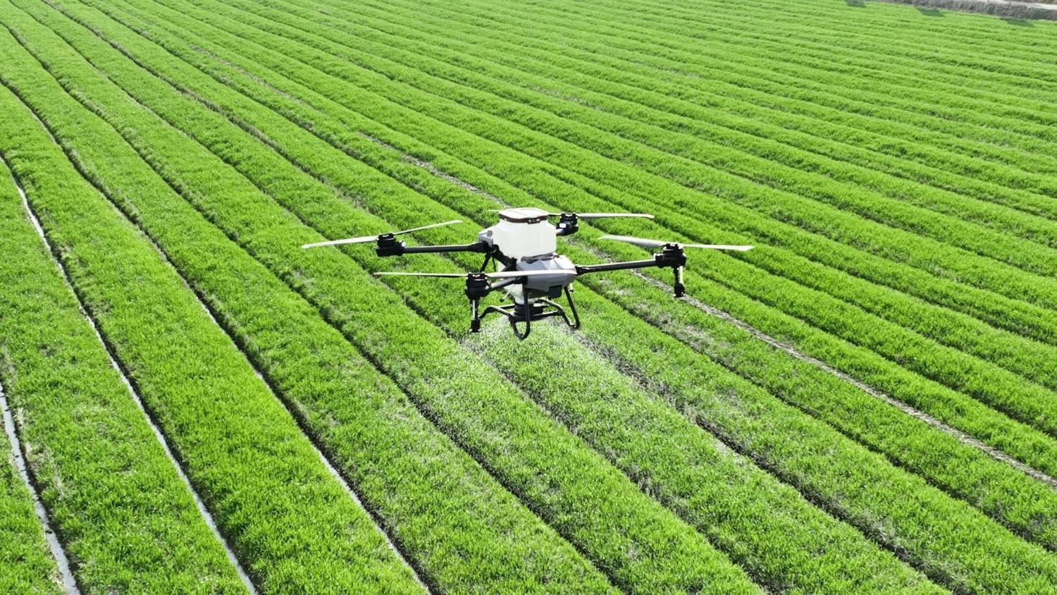
An agricultural drone designed specifically for farming tasks like spraying pesticides, fertilizers and other liquid crop inputs over fields quickly and with precision. It helps farmers save time, labor, chemicals and water compared to manual spraying.
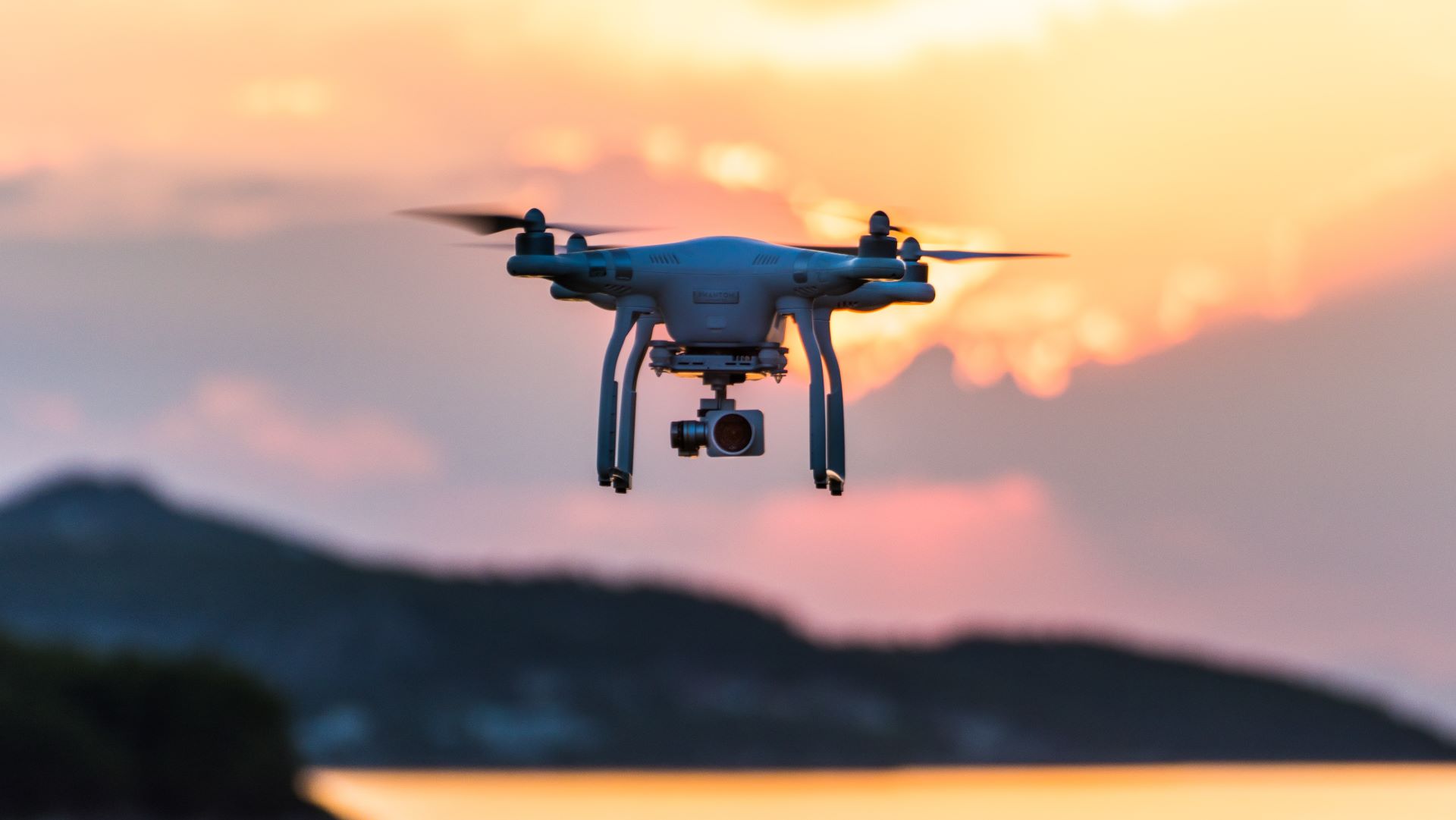
A security drone used for surveillance, monitoring, and securing areas using cameras, sensors, and advanced tech. It helps detect threats, monitor large spaces, and support security teams without putting people at risk.
A vigilance drone used for watching, monitoring, and detecting unusual activities over an area to enhance safety and oversight. It supports security teams by providing aerial observation without human risk.
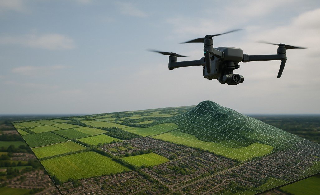
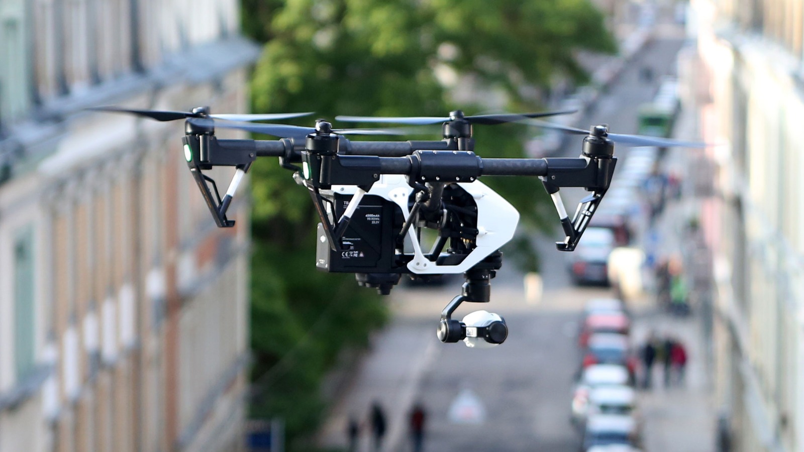
A mapping drone used to capture aerial images and data for creating accurate maps, 3D models, and geographic information of land areas. Widely used in surveying, construction, agriculture, and environmental monitoring.
Our drones are transforming operations across multiple sectors
Precision spraying, crop health monitoring, yield estimation, soil analysis, and irrigation management.
Factory perimeter patrol, critical infrastructure monitoring, asset tracking, and threat detection.
Forest fire detection, wildlife monitoring, anti-poaching operations, and ecological surveys.
Site surveying, progress monitoring, stockpile volume calculation, and safety inspections.
Urban planning, traffic monitoring, disaster management, and municipal asset mapping.
Power line inspection, pipeline monitoring, bridge inspections, and telecom tower surveys.
Advanced technology, rugged design, and comprehensive support
GPS-guided waypoint navigation with automated return-to-home and obstacle avoidance.
High-capacity batteries providing 30-45 minutes of flight time per charge.
Real-time data upload and processing with secure cloud storage.
Modular design for quick repairs and minimal downtime.
Comprehensive software for mission planning and data analysis.
Complete pilot training and certification program with every purchase.
Join hundreds of farmers, security agencies, and survey professionals who trust our drone technology for their critical operations.